Summer dares By Jennifer K Bauer jkbauer@inland360.com

Famously tagged the “goat trail” by former Gov. Cecil D. Andrus, U.S. Highway 95 is the sole arterial linking northern and southern Idaho but most motorists bypass the true routes of the nickname.
From the Lewiston Hill to White Bird are three stretches of old highway that were regaled as marvels of engineering in their time for conquering Idaho’s rugged terrain. The sections are lightly used and offer stunning views of surrounding mountain ranges, prairies, canyons and forests. They are not for people who get car sick or dread heights.
Spiral Highway
Called the Spiral Highway because of its S-switchback design, this road takes drivers from the edge of the Palouse to Idaho’s lowest elevation at Lewiston in 64 tight curves over a 2,000 foot drop. The road opened in 1916 and inspired the 1950s rock hit “Hot Rod Lincoln.” The song hit No. 9 on the 1971 Billboard charts after it was covered by the band Commander Cody and His Lost Airman (video below). On Highway 95 headed south, turn on the Frontage Road turnoff at the top of the Lewiston Hill.
Old Winchester Grade Road
Headed south on Highway 95, take a right immediately after Culdesac and the old Winchester Grade rises quickly into the trees. With no shoulders or guardrails, the narrow, windy road rises a steep eight miles through ponderosa pines and Indian paintbrush with breaks providing views of rolling fields and distant mountain ranges in all directions. After that it flattens out before reaching Winchester, population 308.

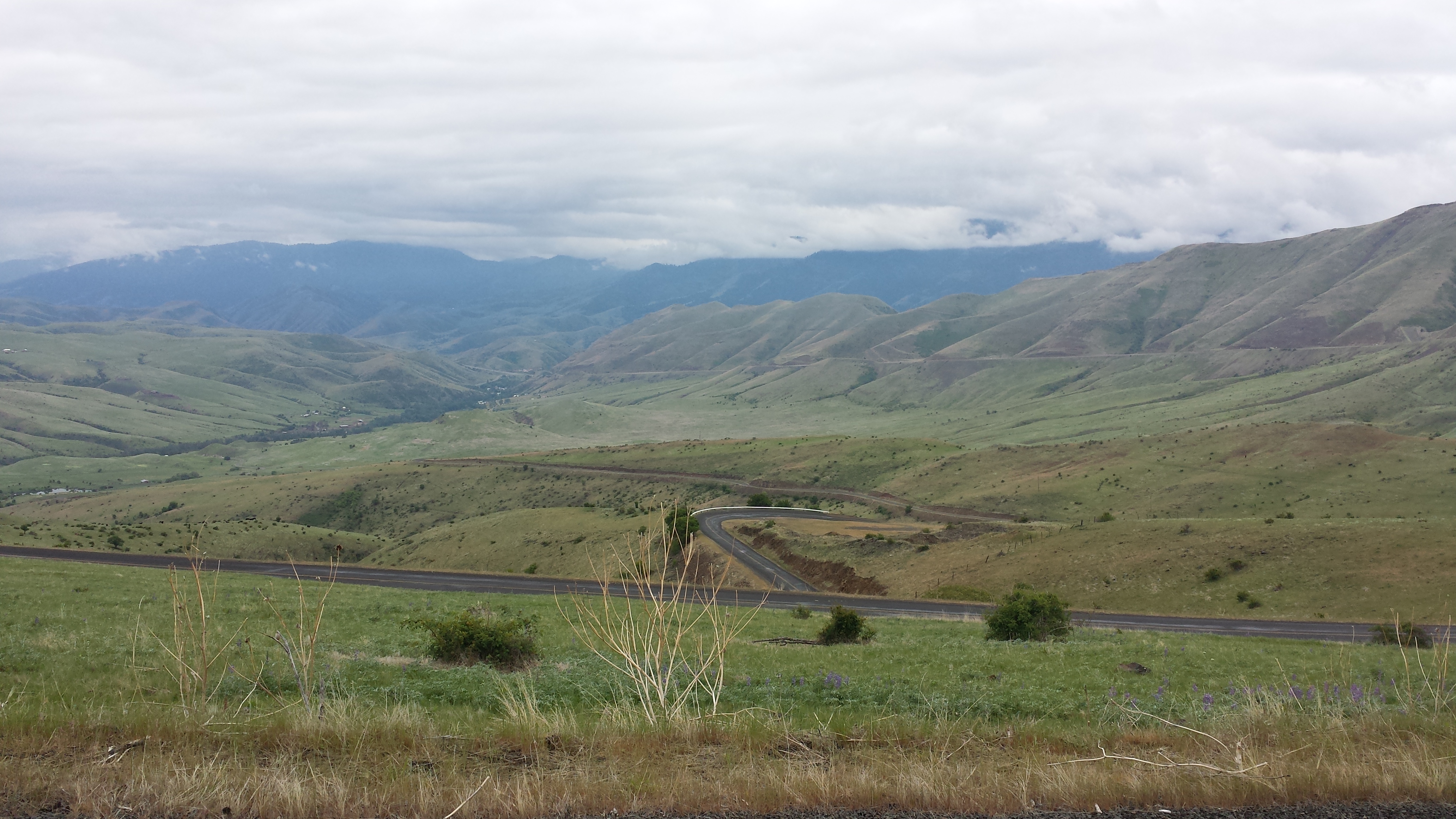
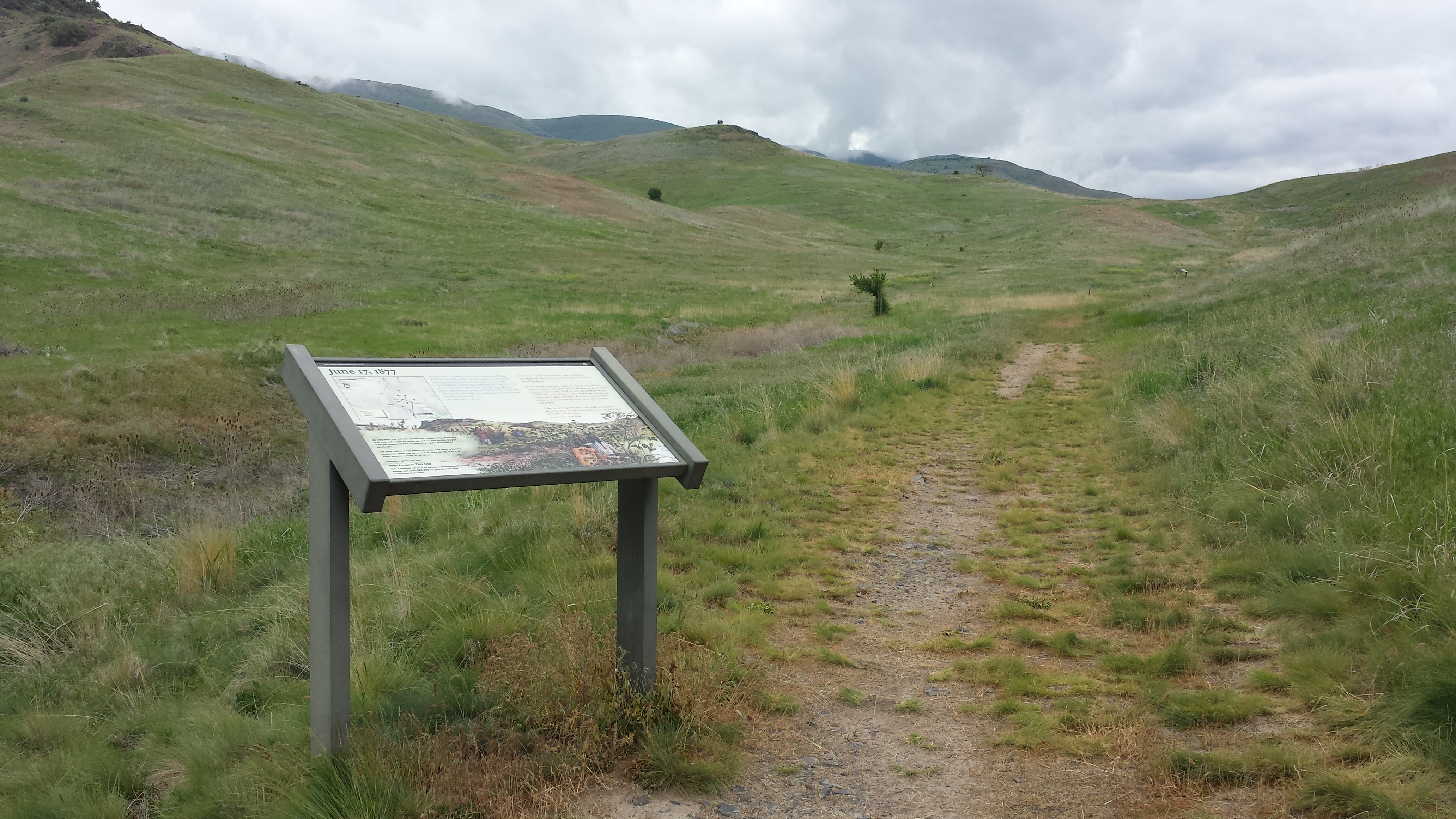
Old White Bird Grade
This highway was completed in 1921 and passes by the undisturbed terrain of the White Bird Battlefield where the Nez Perce War began in 1877. Headed south on Highway 95, after cresting White Bird Hill summit turn left at milepost 230 onto Old 95. Prepare to quickly slow down and follow a series of switchbacks edged by vintage guardrails. Watch for rocks and cows on the road. A stunning canyon vista turns into a close-up view of treeless knolls, draws and rocky crevices that played a role in the battle’s outcome. At a national park trailhead located 7½ miles down you can park and walk to six interpretive signs in a 1½ mile round-trip that explains how the war started June 17, 1877. Five Nez Perce approached the U.S. military with a peace flag. The captain of the local volunteers inexplicably fired on them starting a battle where the Nez Perce ultimately prevailed. Be prepared for temperatures in the range of 100 degrees and higher during the summer and no restrooms. Continue on Old 95 through White Bird and stop for a meal at Mac’s Supper Club Restaurant or for espresso or a smoothie Canyon House.
Double Dare: Go by bike Here's a soundtrack for the Spiral Highway, Commander Cody's version of “Hot Rod Lincoln.”
https://youtu.be/3R7l7nDuj1o


